
Haverdals Naturreservat
Nature reserve near Haverdal
Haverdals Naturreservat is a large and popular nature reserve. It is located between the towns of Haverdal and Villshärad in the municipality of Halmstads Kommun.
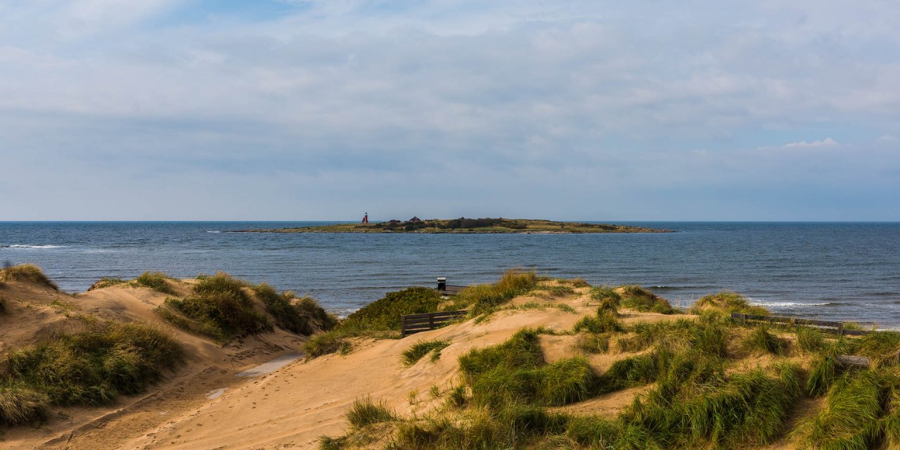
The nature reserve Haverdal is a 666-hectare area in the bay Harplingebukten south of the village Haverdal. This special landscape has been protected since 1942, making it one of the oldest nature reserves in Sweden. In the 17th century, the original forest at this site was cut down and turned into a treeless shifting sand field with numerous plant species. Local farmers used these areas as pasture for a long time, until the sand was bound by planting pines, birches and alders in the early 20th century.
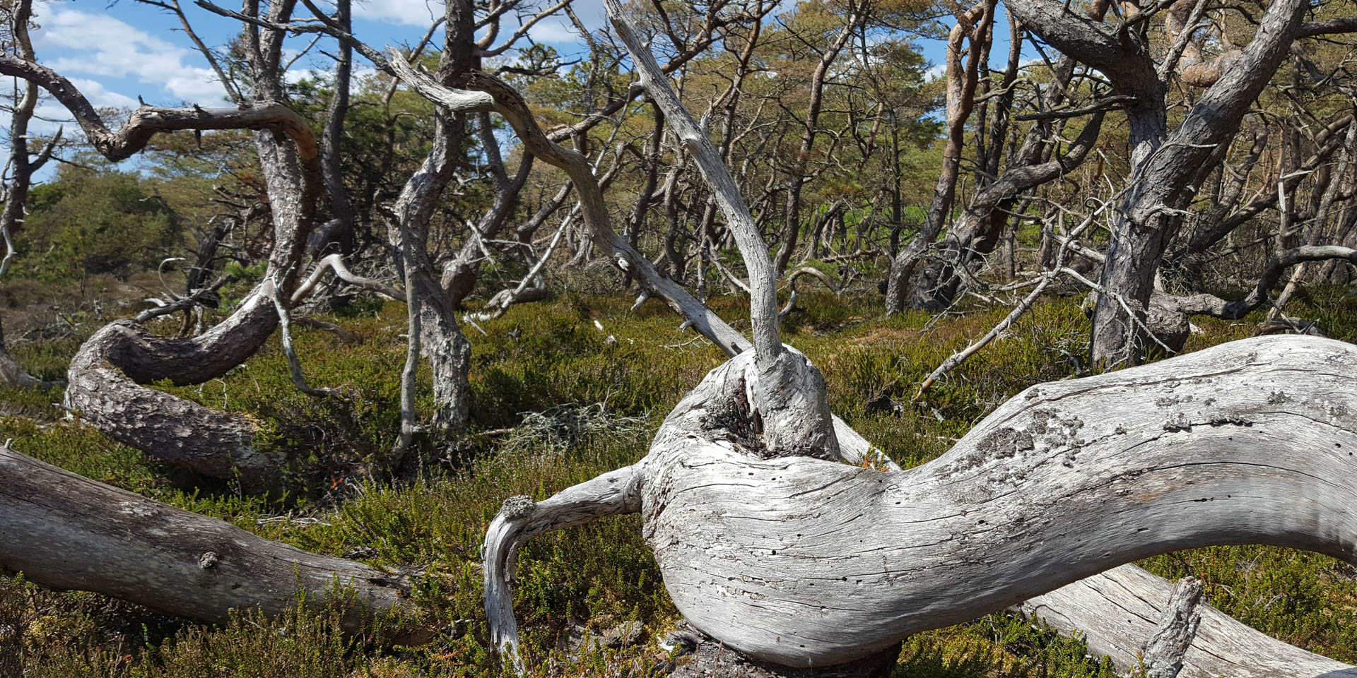
The resulting nature is varied and the pines in particular are a special feature. In several places in Haverdals Naturreservat, pine trees grow with bent or knotted trunks, some of which have even grown in a circle. In the vernacular, the forest area is therefore also called Trollskogen (Magic Forest). To this day, it is not clear why the trees in Haverdal grow like this, and whether it is due to the trees' genes, the wind or other influences.
However, this new forest also displaces many plant and insect species that live mainly in sand. With the Sand Life project, large parts of the nature reserve are being converted back into open sandy landscapes for this reason.
The highest sand dune in Sweden
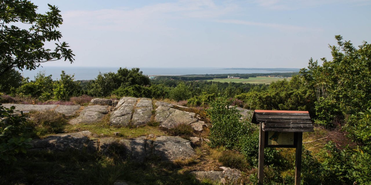
In the nature reserve Haverdal, the beach forests mix with a beach heath and a dune landscape. The 36-metre-high sand dune Lynga Sanddyn, also called Stora Sandkullen, in the east of the nature reserve is the highest sand dune in Sweden and probably in all of Scandinavia. From the top, you have a view of the nature reserve's forest, the sea and the wider surroundings that stretches for kilometres.
One of the many rest areas is also located on the top of the sand dune and offers benches and tables to relax.
Discover Haverdals Naturreservat
A number of parking areas around the nature reserve Haverdal offer various possibilities to access the area. We recommend the parking lot near Lynga, as the various circular hiking trails can be quickly reached or even started from this location. There are toilets at some of the car parks, but the only accessible toilet is at the parking lot of the beach Haverdalsstranden.
The beach, which is a good 30 metres wide, is extremely well frequented in summer and stretches along the more than three-kilometre-long bay. To the south, it merges seamlessly into Vilshäradsstranden.
Haverdals Naturreservat is criss-crossed with trails suitable for hiking, running and cycling. For horseback riders, there are even separate signposted bridle paths. To really discover nature, visitors can take one of four circular walks. Different coloured markings along the way, as well as numerous signposts, help to navigate through the nature reserve.
An educational trail in the southern part of Haverdal with a length of 3.3 kilometres provides information about nature on a total of 15 information boards along the trail. Two other trails with lengths of 3.7 and 4.6 kilometres start also at the parking lot in Lynga and cross the southern part of the nature reserve. Both trails lead to the large sand dune Lynga Sanddyn, while the educational trail runs further west near the beach.
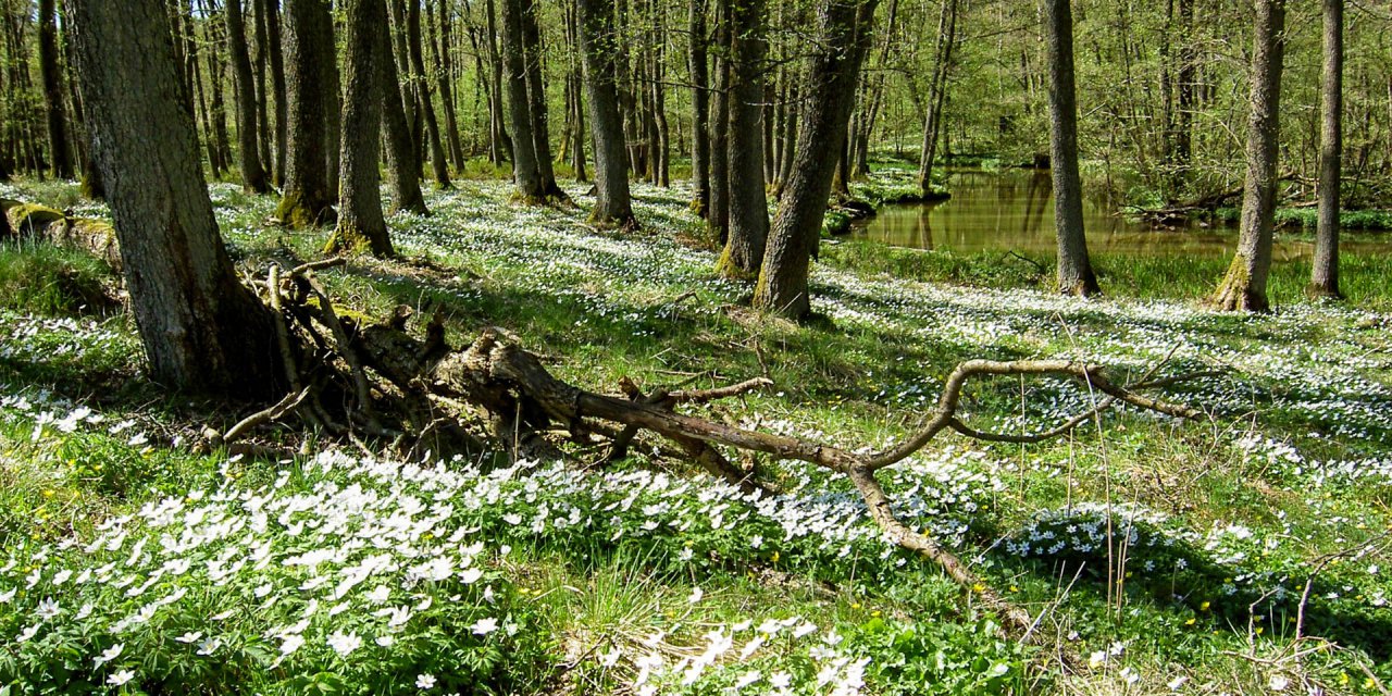
A fourth circular trail with a length of 3.6 kilometres crosses the northern part of the nature reserve. It can be reached after a few hundred metres from the parking lot in Lynga. Numerous other and unmarked trails make it possible to discover every part of nature. For example, the small river Skintan, which flows through the middle of Haverdal. With a bit of luck, an Eurasian wren (Troglodytes troglodytes) can be spotted at the river. The estuary and the rest of the beach are home to Eurasian oystercatcher (Haematopus ostralegus) and common ringed plover (Charadrius hiaticula).


