The nature reserve covers an area of 30 hectares and is a combination of the two nature reserves Ljungryda in Blekinge and Östafors Bruk in Skåne. It is used to protect a very special landscape and its very rich flora and fauna, which was shaped by glacial influences.
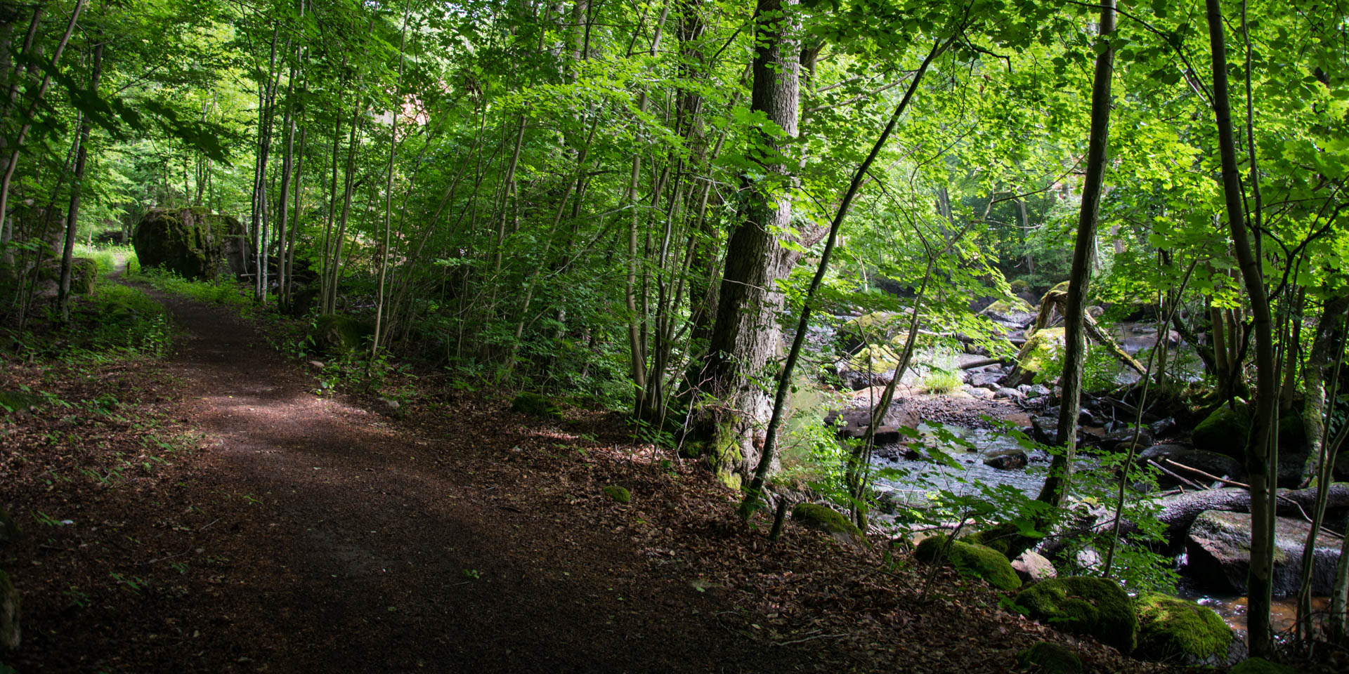
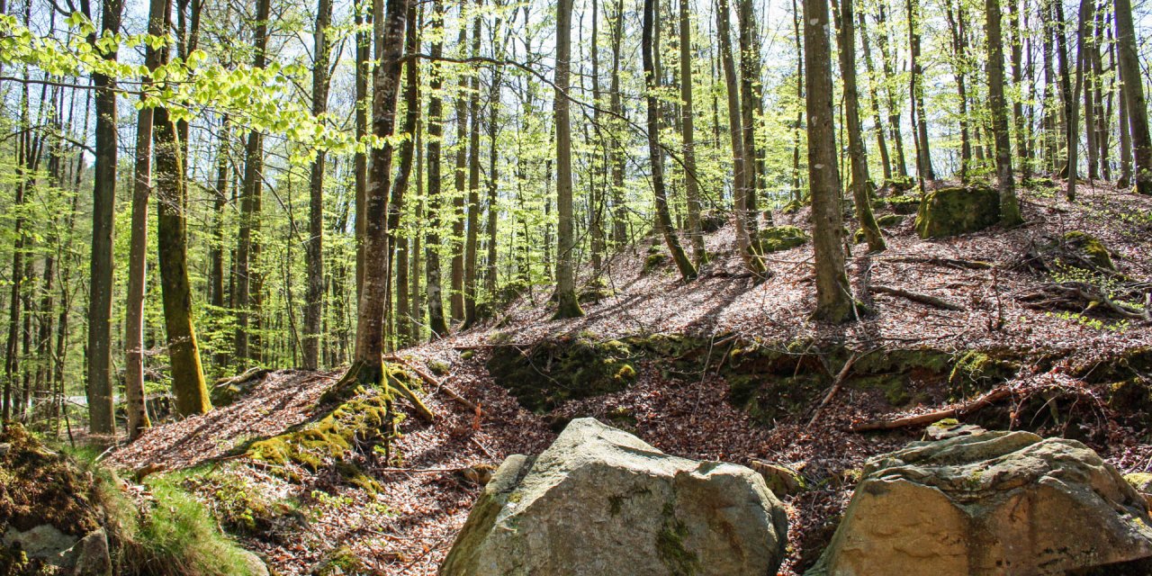
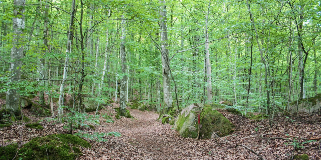
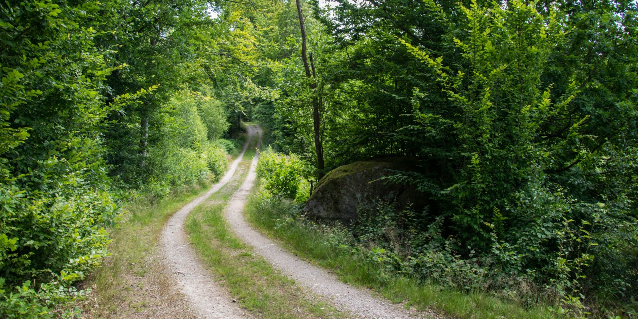
The varied hilly moraine consists of wooded areas with deciduous forests near the river, as well as of open pastures and sandy terrain. The river is in the northern part really calm but shows its impetuous side with the rapids at Östafors before it is getting calm again towards the south. With a little luck you can see kingfishers, dippers or mountain stilts at the Holjeån.
The area around the river was settled around 5,000 years ago, witnessed by numerous remains of ancient settlements and tombs. The largest relic in the area is Kungagraven, a large grave mound from the Bronze Age located north of the provincial border.
The hydropower at the rapids at Östafors was used a long time for the operation of water and saw mills, and for generating electricity since 1920. The operation of the industrial complex Östafors Bruk came to an end in the late 1960s and most of the factory buildings were demolished. The dam of the old power station has been removed in 2007, so the fish can swim upriver again.


